Planning
Sep 9, 2026
Role of surveys in planning permission: 2026 guide
Discover the crucial role of surveys in planning permission. This 2026 guide reveals how accurate data can enhance your project's success and compliance.

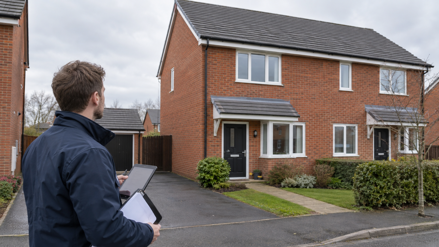
Surveys are defined as the primary evidence base that planning authorities use to validate, assess, and approve development applications. The role of surveys in planning permission has grown significantly since the Environment Act 2021 introduced mandatory biodiversity net gain (BNG) requirements, making precise site data a legal obligation rather than a professional courtesy. RICS standards now underpin the minimum acceptable quality for survey deliverables submitted to local authorities. Without accurate topographical, ecological, or building survey data, applications face rejection, delay, or costly redesign. This guide explains what surveys are required, how they affect approval outcomes, and how to integrate them effectively into your project timeline.
Surveys supply the factual foundation that every planning application rests upon. A planning authority cannot assess the impact of a proposed development on drainage, neighbouring properties, or protected habitats without measured, site-specific data. Generic maps simply do not provide that level of detail.
The distinction matters legally. RICS guidance confirms that HM Land Registry title plans and Ordnance Survey maps are drawn at scales unsuitable for planning submissions. Using them in place of a professional measured survey is one of the most common causes of application validation failure. That failure costs time and money before a single design decision has been reviewed on its merits.

Since the Environment Act 2021 came into full effect, the stakes have risen further. A mandatory 10% biodiversity net gain requirement now applies to all qualifying developments. Meeting that requirement demands precise baseline habitat and tree surveys as evidentiary documents, not optional design aids. Surveys have therefore shifted from supporting material to statutory requirement.
Different survey types serve distinct purposes within a planning application. Understanding which one applies to your project avoids commissioning the wrong work and submitting incomplete evidence.
| Survey type | Primary purpose | Typical use case |
|---|---|---|
| Topographical survey | Captures spot levels, contours, and site features | All new builds, extensions, and drainage designs |
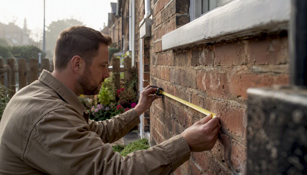
| Measured building survey | Documents existing structures with dimensional accuracy | Conversions, refurbishments, listed buildings |
| Ecological survey | Assesses habitats and protected species | Any site with vegetation, water, or brownfield land |
| Tree survey (BS 5837) | Records tree positions, species, and root protection zones | Sites with trees affecting design or access |
| Boundary survey | Establishes legal plot extents against neighbouring land | Disputed boundaries, infill plots |
Topographical surveys use GPS, total stations, and laser scanning to capture millimetre-precise site data. That data feeds directly into architects’ CAD drawings and planning consultants’ reports throughout the project lifecycle. Without it, drainage gradients, floor levels, and site access calculations are guesswork.

Ecological surveys have become the most scrutinised document type in planning applications since 2021. Topographical surveys capturing detailed tree and habitat information have transitioned from optional design aids to mandatory evidentiary documents under the Environment Act 2021. A site with even modest vegetation now requires a baseline habitat assessment before a planning officer will validate the application.
Pro Tip: Never assume that a tree on a neighbouring property falls outside your survey scope. Root protection zones frequently extend well beyond plot boundaries, and planning officers check this.
Planning authorities apply a two-stage test to every application: validation and determination. Surveys affect both stages, but their impact on validation is the most immediate and the most frequently underestimated.
High-quality surveys that meet local authority standards are a key factor in reducing requests for further information (RFIs). An RFI pauses the determination clock and can add weeks or months to an already pressured timeline. Precise survey data signals to planning officers that the applicant has done thorough groundwork.
The following steps show how surveys directly improve validation outcomes:
Pro Tip: When selecting a survey provider, check that they hold RICS accreditation and carry professional indemnity insurance. Planning officers can and do query the credentials of survey authors.
The most expensive mistakes in planning applications are not design errors. They are data errors that occur before the architect has drawn a single line. Understanding where survey preparation goes wrong helps you avoid the same traps.
Site data from existing property deeds or typical OS maps is a leading cause of planning application validation failures. Developers who rely on these documents to save money at the outset routinely spend far more correcting submissions later. The false economy is well documented among planning professionals.
Failure to commission accurate surveys ahead of design leads to neighbour disputes, drainage errors, and costly redesigns. Each of these outcomes delays or derails development projects. The financial impact compounds quickly when professional fees, resubmission costs, and programme overruns are totalled.
Common pitfalls to avoid:
For developers working on sites with significant tree cover, understanding legal obligations for trees and hedges under environmental legislation is equally relevant to your survey scope.
Survey commissioning is a project management decision as much as a technical one. Timing, sequencing, and coordination between professionals determine whether survey data adds value or creates bottlenecks.
Standard planning applications require site location plans, block plans, architectural drawings, and supporting reports, all built on accurate survey foundations. Each document type has a different author: map providers supply compliant planning maps, and architects supply design drawings built upon them. The distinction between mapped survey data and architectural designs is critical to avoid wasted time and ensure compliant submissions.
| Project stage | Survey type | Key deliverable |
|---|---|---|
| Pre-application | Topographical survey | CAD site model for architect’s use |
| Pre-application | Ecological survey | Baseline habitat report for BNG metric |
| Design stage | Tree survey (BS 5837) | Root protection zone plan for layout |
| Pre-submission | Measured building survey | Existing floor plans and elevations |
| Pre-submission | Boundary survey | Verified site extent for location plan |
Coordinating surveyors, architects, and planning consultants from the outset prevents the most common sequencing errors. An architect who receives topographical data before starting the design can position the building correctly relative to levels, drainage outfalls, and neighbouring structures. One who starts without that data will almost certainly need to revise the drawings later.
For projects involving extensions or significant alterations, planning an extension with a property survey from the earliest stage gives architects the precise dimensional context they need. Digital CAD tools linked to survey data also allow planning consultants to run shadow studies, drainage models, and access assessments before the application is submitted, reducing the likelihood of officer objections.
Pro Tip: Commission your topographical survey before your architect’s first design meeting. The cost is modest relative to the redesign fees you will avoid if the survey reveals unexpected levels, drainage constraints, or boundary discrepancies.
Accurate, professionally commissioned surveys are the single most effective way to reduce planning application delays and avoid validation failure.
| Point | Details |
|---|---|
| Surveys are now statutory evidence | The Environment Act 2021 makes baseline habitat surveys a legal requirement for qualifying developments. |
| OS maps cause validation failures | Land Registry title plans and OS maps lack the scale required for planning submissions. |
| Survey timing determines design quality | Commissioning surveys before design begins prevents costly revisions and RFIs. |
| BNG compliance requires ecological data | A 10% biodiversity net gain must be evidenced with precise habitat and tree survey data. |
| Multidisciplinary surveyors reduce risk | A single provider covering topographical, ecological, and building surveys cuts coordination errors. |
Planning delays are routinely blamed on slow local authorities or complex design proposals. Having worked closely with planning professionals across the UK, I have observed that the real cause is almost always inadequate survey data submitted at the wrong stage of the project.
The pattern repeats itself. A developer commissions an architect, the architect starts drawing, and the survey is ordered as an afterthought to confirm what has already been designed. When the survey reveals that the assumed levels are wrong, or that a protected bat roost sits in the outbuilding earmarked for demolition, the programme collapses. The redesign costs dwarf what a properly timed survey would have cost.
The regulatory environment in 2026 makes this pattern even more damaging. Biodiversity net gain requirements mean that ecological surveys are no longer a box-ticking exercise. Planning officers are trained to scrutinise BNG metric calculations, and any gap in the baseline data triggers an RFI. That RFI can pause a determination for months. For construction survey types and methods, the investment is always smaller than the delay it prevents.
My view is straightforward: treat survey commissioning as the first design decision, not the last administrative task. The developers who do this consistently submit stronger applications, face fewer objections, and complete projects faster.
— N
Planning applications demand precise, authority-ready survey data. Surveymerchant connects property developers, homeowners, and planning professionals with qualified surveyors across the UK who understand exactly what local authorities require.

Whether you need a topographical survey for a new build, an ecological baseline for BNG compliance, or a full structural assessment for a conversion, Surveymerchant matches you with accredited professionals who deliver compliant, submission-ready reports. The panel covers commercial property surveys for larger development sites and full building surveys for residential and mixed-use projects. Contact Surveymerchant to discuss your planning survey requirements and get matched with the right specialist for your site.
Most applications require a topographical survey, a site location plan, and supporting reports such as ecological or tree surveys. The exact requirements depend on site characteristics and local authority validation checklists.
Ordnance Survey maps and Land Registry title plans are drawn at scales that are insufficient for planning submissions. RICS guidance confirms that professional measured surveys are required to meet local authority standards.
Biodiversity net gain is a mandatory 10% improvement in habitat value required under the Environment Act 2021 for qualifying developments. Ecological surveys establish the baseline habitat data needed to calculate and evidence that gain.
Commission your topographical and ecological surveys before your architect begins the design. Survey data must inform the design from the outset to avoid costly revisions after drawings are complete.
Precise survey data reduces requests for further information from planning officers, which are a primary cause of determination delays. High-quality surveys signal thorough preparation and allow officers to assess applications without seeking additional evidence.
Survey Merchant provides vetted RICS surveyors across 100+ UK locations at fixed fees:
→ Level 2 Home Survey (HomeBuyer Report)
→ Level 3 Building Survey (full structural survey)
→ RICS Red Book property valuations
→ Party wall surveyors — notices, awards & schedules of condition
→ Expert witness surveyors — CPR Part 35 reports for property disputes