Building Surveying
Jul 16, 2026
Drone survey benefits for UK property owners in 2026
Discover what a drone survey is and how it benefits UK property owners in 2026. Enjoy faster, safer, and cost-effective inspections today!
Many property owners still assume that a proper roof or exterior inspection means days of scaffolding, significant disruption, and a hefty bill before any real assessment begins. That assumption is now outdated. Drone surveys have changed what’s possible in property assessment, offering a faster, safer, and often far more cost-effective route to understanding the condition of your home or investment. This article explains what drone surveys are, how they work, how they compare to traditional methods, and when they make the most sense for UK property owners and buyers.
| Point | Details |
|---|---|
| Drone surveys save money | They eliminate costly scaffolding and reduce unnecessary repairs, offering impressive ROI for UK properties. |
| Faster and safer method | Drone surveys capture comprehensive property details quickly and without putting surveyors at risk. |
| Ideal for tricky properties | Drones excel at inspecting difficult-to-access, historic, or listed buildings where traditional approaches are impractical. |
| Data-rich reporting | Aerial views and 3D mapping offer richer insights for property decisions, valuations, and future planning. |
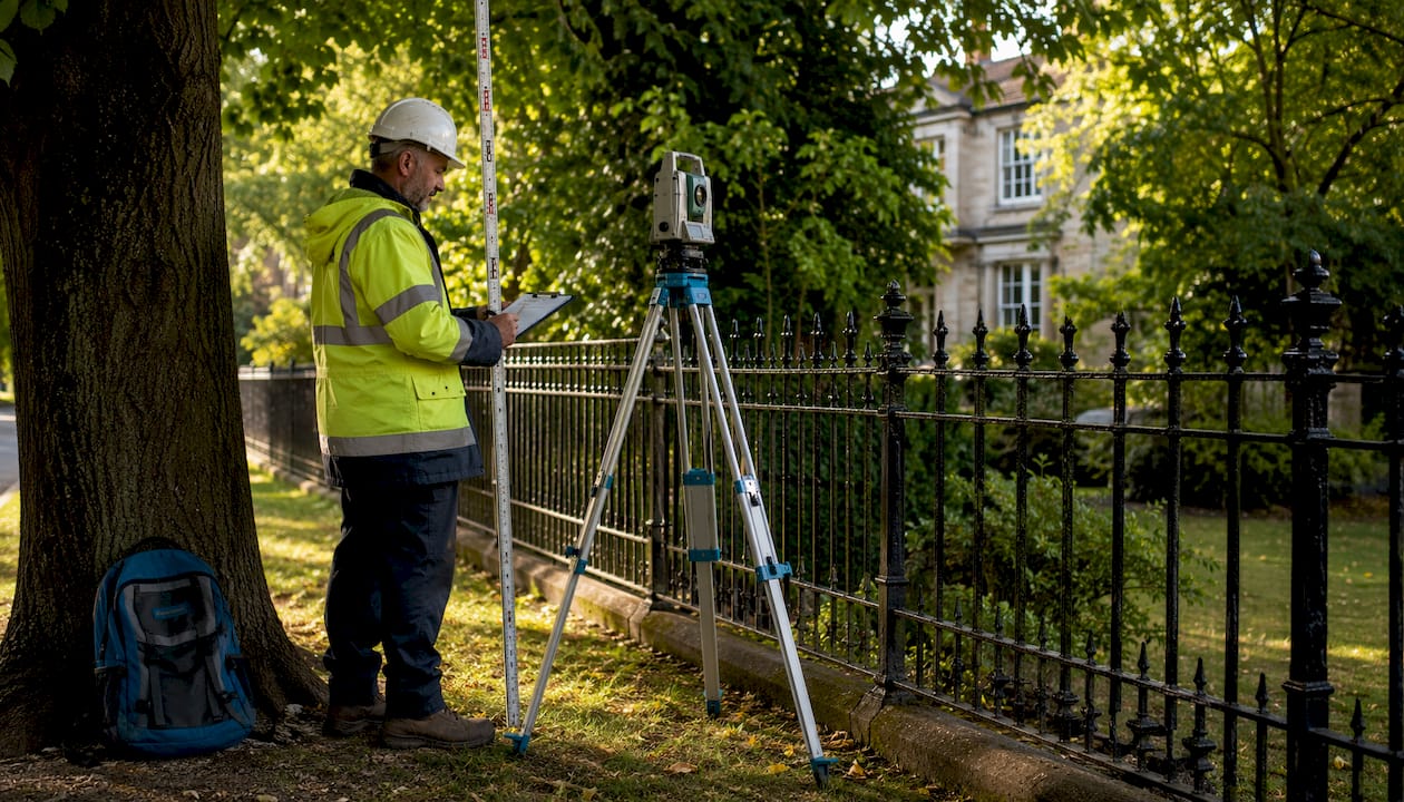
A drone survey uses an unmanned aerial vehicle (UAV), commonly called a drone, to capture detailed visual data of a property from the air. The drone is flown by a qualified operator who controls it remotely while recording high-resolution photographs, video footage, and in many cases, full 3D point-cloud models of the building or site below. The results give surveyors a level of detail that would previously have required scaffolding, cherry pickers, or even abseiling.
In property assessment, drone surveys are primarily used for:
The technology involved has matured considerably. Modern survey drones carry multi-megapixel cameras, thermal imaging sensors, and LiDAR (light detection and ranging) equipment. Each captures different types of data: optical cameras deliver vivid imagery, thermal sensors reveal moisture ingress or heat loss, and LiDAR produces precise measurements even through tree canopy or low-light conditions.
“Empirical ROI data shows drone add-ons pay for themselves via avoided repairs and scaffolding, making them ideal for older or listed properties.”
The ability to gather this quality and quantity of data without putting a person on a roof is genuinely significant. You can explore what a drone survey service overview typically involves before making any decisions.

Now that you know what a drone survey is, here’s what actually happens during the process. It’s more structured than most people expect, and understanding each stage helps you know what to ask for when booking.
Initial consultation and scoping. You discuss the property with the surveying firm. They confirm the scope: which areas require inspection, what outputs you need (photos, video, 3D model, thermal report), and whether the findings will feed into a wider building survey or standalone inspection report.
Permissions and regulatory compliance. The operator checks Civil Aviation Authority (CAA) requirements. UK drone operators must hold a valid GVC (General Visual Line of Sight Certificate) or equivalent qualification, and some flights near residential areas or above certain heights require specific authorisations. The surveyor handles all of this, but you should expect them to request property details and sometimes notify neighbouring owners as a matter of good practice.
Site visit and setup. On the day, the operator arrives, conducts a site safety check, and assesses local airspace. Weather is a significant factor: surveys cannot proceed safely in high winds, rain, or poor visibility. A reputable operator will reschedule rather than compromise data quality.
Flight and data capture. The drone follows a pre-planned flight path designed to cover all required areas systematically. Depending on the property size, a residential flight might take 30 to 90 minutes. The operator monitors the live feed throughout, adjusting angles or altitude to capture any points of concern in detail.
Data processing. Raw footage is processed using photogrammetry software (which stitches images into 3D models), or manually reviewed for condition reporting. Drone surveys capture extensive property data quickly, reducing time and human risk compared to traditional access methods.
Report delivery. You receive a written report with annotated images, condition ratings, recommended remedial actions, and in many cases, a 3D model or interactive viewer. The report structure mirrors that of a traditional survey, making it straightforward to act on the findings or share them with contractors, solicitors, or insurers.
Pro Tip: Ask your surveyor whether the drone report will be integrated with a full understanding survey reports style assessment. A standalone drone report is useful, but when combined with an internal survey, it gives you a complete picture of the property’s condition.
With the process clear, it’s worth comparing drone surveys to traditional methods so you can see the real-world differences. The contrast is striking across almost every meaningful metric.
| Factor | Traditional survey | Drone survey |
|---|---|---|
| Roof access method | Scaffolding or ladders | UAV flight |
| Time on site | Half a day to full day or more | 30 to 90 minutes typically |
| Disruption to occupants | Significant | Minimal |
| Cost of access equipment | High (scaffolding hire) | Included in drone operator fee |
| Data quality for high-level areas | Limited by safe access | High-resolution, multi-angle |
| Suitability for listed buildings | Difficult, risk of damage | Ideal, non-contact |
| Weather dependency | Moderate | Higher (wind and rain sensitive) |
| 3D modelling capability | Rare | Standard offering |
The cost savings are particularly compelling for properties where scaffolding would otherwise be mandatory. For a typical three-storey Victorian terrace or a property with a complex roof geometry, scaffolding alone can cost £800 to £2,500 before any inspection work begins. Drone add-ons pay for themselves via avoided repairs and scaffolding costs, especially for older and listed properties where traditional access is disruptive and expensive.
Safety is another underappreciated benefit. Falls from height remain one of the most common causes of serious injury in the construction and inspection sector. Removing the need for a person to physically access a steep or deteriorating roof is not a minor consideration. It reduces liability, speeds up the process, and removes the possibility that a surveyor’s limited safe access prevents them from seeing something important.
The quality of imagery also tends to be superior. A surveyor standing on a roof cannot get the same oblique angle on a chimney stack or roof slope that a drone can. The what to expect from your survey report guide explains how these outputs feed into the final findings and recommendations.
Understanding the differences, let’s see when a drone survey is the smart choice for your property. Not every property needs one, but for a growing list of situations, it’s the most practical and cost-effective option available.
Where drone surveys deliver clear value:
| Use case | Traditional alternative | Drone advantage |
|---|---|---|
| Roof condition inspection | Scaffolding and manual check | No access equipment needed |
| Listed building exterior review | Abseiling or tower scaffold | Non-contact, no damage risk |
| Insurance storm damage evidence | Manual photography from ground | Full overhead coverage |
| Boundary and land mapping | Ground-based survey | Faster, wider coverage |
| Development site assessment | Multiple site visits | Single flight, 3D output |
Pro Tip: If you’re planning an extension or loft conversion, commission a drone survey early in the design phase. The 3D data can be fed directly into architectural software, saving your design team time and reducing the risk of planning surprises. Explore building maintenance survey tips for more guidance on keeping older properties in good order, and consider reviewing your building surveying options to see how drone surveys complement broader property assessments.

There’s a conversation we hear fairly regularly in the surveying sector, and it goes something like this: “Drones are impressive, but do I really need one? Isn’t it just a more expensive way of getting some photos?” It’s a fair question. But it’s also the wrong question.
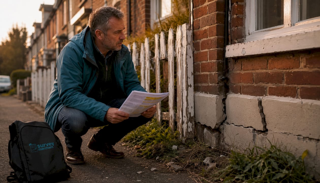
The resistance usually comes from short-term cost thinking. A drone survey might add £300 to £600 to a property assessment. That feels like a premium for something you could, in theory, skip. But consider what you’re comparing it against. A roof defect that’s missed because the surveyor couldn’t safely access the slope can result in £4,000 to £15,000 in structural repairs once water ingress becomes visible internally. That’s not a hypothetical. It’s a pattern surveyors see repeatedly in properties that were surveyed without adequate roof access.
Drone surveys are revolutionising how the UK housing market approaches property assessment, and it’s not simply because the technology is impressive. It’s because the data quality changes the nature of the advice a surveyor can give. When a surveyor can view a 47-image annotated sequence of your roof, including close-up oblique shots of every valley, hip, and ridge, they can give you precise, evidenced recommendations rather than general guidance based on a ground-level view.
There’s also the matter of documentation. A drone survey creates a permanent, timestamped visual record of your property’s condition at a specific point in time. That record has real value for insurance negotiations, for demonstrating maintenance history when selling, and for managing contractor disputes. If a roofer tells you the damage they’ve found wasn’t there before they worked on the property, a prior drone survey report is your evidence.
The future-proofing argument is particularly strong for investment property owners and those managing listed buildings. As insurers become more data-driven in how they calculate premiums and process claims, having structured condition records will increasingly affect what you pay and how quickly claims are settled. Treating your drone survey report as a strategic asset, not just a one-off inspection cost, is the mindset shift that separates reactive property management from genuinely informed ownership.
Drone surveys represent one of the most practical upgrades available to UK property owners today, whether you’re buying, managing, or preparing to sell.

At Survey Merchant, we connect you with qualified, experienced surveyors who use drone technology as part of a fully integrated property assessment. Whether you need a standalone aerial inspection or want to combine drone data with a full structural report, our panel of specialists can be matched to your property type and location. Explore our commercial property survey options for larger portfolios, review our RICS valuation services if you need a formal mortgage or insurance valuation, or browse our building surveying solutions to find the right level of assessment for your needs. Getting started takes minutes, and the insight you gain lasts for years.
Yes, drone surveys are legal when carried out by licensed professionals who comply with Civil Aviation Authority regulations. Your surveyor should hold appropriate certification and handle all airspace permissions on your behalf.
Costs vary depending on property size, complexity, and the level of reporting required. However, drone surveys consistently reduce overall spend by eliminating the need for scaffolding, and avoided scaffolding costs alone often exceed the drone survey fee.
Drone technology can be deployed for roof condition, facade, chimney, site boundary, thermal efficiency, and overall exterior condition surveys, making it versatile across residential, commercial, and listed building assessments.
It is considered best practice to notify neighbouring property owners before a drone survey takes place. A reputable surveyor will advise on this and ensure all relevant regulatory requirements are met before the flight.
Survey Merchant provides vetted RICS surveyors across 100+ UK locations at fixed fees:
→ Level 2 Home Survey (HomeBuyer Report)
→ Level 3 Building Survey (full structural survey)
→ RICS Red Book property valuations
→ Party wall surveyors — notices, awards & schedules of condition
→ Expert witness surveyors — CPR Part 35 reports for property disputes